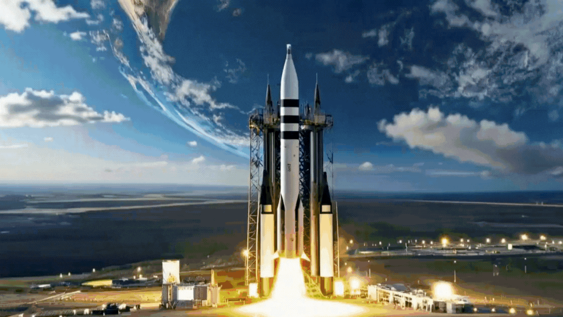
AI and Satellites: Connecting Space to Earth

RIFFAI is transforming raw satellite data into reliable, decision-ready intelligence for the Energy, Defense, and Environment sectors.

BRINGBRINGSPACESPACEDOWNDOWNTOTOEARTH,EARTH,OPENOPENPATHPATHTOTOORBITORBIT

Satellites have pioneered long-term space and Earth observation, revealing the unknowns of the universe to humanity and accelerating advancements in space exploration.

RIFFAIRIFFAIisisbuiltbuiltuponuponcuriosity,curiosity,energy,energy,andandambitionambitiontotonavigatenavigatethethecomplexitycomplexityofofspacespacedata.data.

WithWithmoremoresatellitessatellitesininorbitorbitandandgenerationsgenerationsofofpioneerspioneerspavingpavingourourpathpathbackbacktotospace,space,weweareareworkingworkingononaamissionmissiontotobridgebridgethethegapgapbetweenbetweenspacespaceandandeverydayeverydaylifelifeononEarthEarthatataaplanetaryplanetaryscale.scale.

AccelerateAcceleratedecision-makingdecision-makingwithwithvalidatedvalidatedAIAImodelsmodelsachievingachieving85–90%+85–90%+accuracyaccuracyandandpatentedpatentedimageimagemetadatametadatamanagementmanagement

By The Numbers

0%

Accuracy rate focused on prediction precision with our validated AI model accuracy range, a key competitive edge in geospatial insights.

0+

Satellite sources across RIFFAI networks that deliver global constellation coverage.

0+

Imaging indices and features that unlock advanced spectral analysis parameters in AI training.

0K

Total revenue generated in Fiscal Year 2025.

0K

Non-dilutive funding secured through grants, validating technical capability.

Industries We Serve

Delivering Results for Our Priority Markets

Our AI-Driven Solutions
System Visualization
Energy

Use AI satellites for precise energy yield analysis, site screening, and performance monitoring to replace high-cost manual surveys.

Learn More
Environment

Monitoring solutions for water resources and wildfire control, enabling verifiable carbon credit calculations and wildfire damage assessment.

Learn More
National Security

Deliver superior situational awareness, monitor military base activities, detect land-use anomalies, and provide rapid, large-scale damage assessment for crisis response.

Learn More

Backed by partners globally

  • Partner Logo 1
  • Panasonic Logo
  • Weathernews Logo
  • UNIDO Logo
  • Partner Logo 5
  • Partner Logo 6
  • Panacea Logo
  • Partner Logo 8
  • DEPA Logo
  • Partner Logo 10
  • Partner Logo 11
  • Partner Logo 12
  • Partner Logo 13
  • Partner Logo 14
  • Partner Logo 15